Puppis Constellation
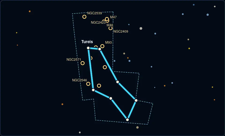
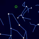
Puppis, the stern, is a southern constellation that represents the stern of a ship, once part of the larger constellation Argo Navis.
Where is Puppis right now?
It is currently below the horizon and is not visible from your location.
Puppis Rise and Set Timetable
| Time | Elevation | |
Moonrise, 88% illuminated 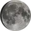 | 14:51 | -68° |
| Astronomical observing session begins | 17:17 | -80° |
| Puppis rise | 00:28 | |
| Moonset | 03:47 | 20° |
| Astronomical observing session ends | 04:27 | 20° |
| Puppis transit | 04:33 | 20° |
| Civil sunrise | 04:58 | 20° |
| Sunrise | 05:25 | 19° |
| Puppis set | 08:37 |
Track Puppis position throughout the night
← 24 October 2026 →
| Time | |
| Altitude | |
| Azimuth |
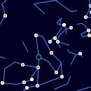
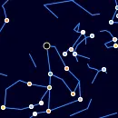
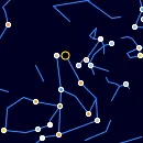
Shift the map to change the time and observe Puppis changing position in the night sky.
Annual motion of Puppis
| Date | Sat, 24 October 2026 |
| Twilight start | 17:43 |
| Twilight end | 03:50 |
| Twilight duration | 10h 8m |
| Rise | 00:28 |
| Set | 08:37 |
| Elevation at transit | 20° |
| Transit time | 04:33 |
| Equatorial coordinates | RA: 07h 37m 08s", Dec: -32° 09' 07s |
Deep-sky objects in Puppis
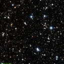
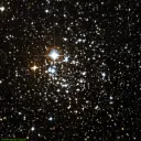
M47
Open Cluster
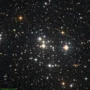
An open star cluster containing over 500 stars, located approximately 1,600 light-years away in the constellation Puppis.
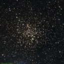
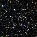
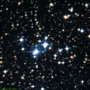
M46
Open Cluster
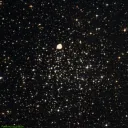
An open star cluster containing over 500 stars, located approximately 5,400 light-years away in the constellation Puppis.
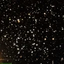
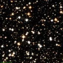
M93
Open Cluster
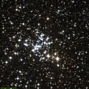
Open star cluster features a rich stellar population and is located in the Milky Way's disk.