
Checkmark Nebula (M17) Position and Visibility Tonight

Where is M17 right now?
M17 tonight
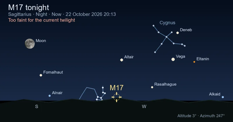
M17 visibility on 2026-10-23
M17 rise and set timetable
| Time | Elevation | |
Moonrise, 80.5% illuminated 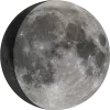 | 14:26 | 35° |
| M17 transit | 15:22 | 36° |
| Sunset | 16:20 | 35° |
| Civil sunset | 16:47 | 33° |
| Twilight start (−12°) | 17:18 | 30° |
| Astronomical observing session begins | 17:48 | 26° |
| M17 set | 20:30 | |
| Moonset | 02:40 | -67° |
| Astronomical observing session ends | 03:56 | -67° |
| M17 rise | 10:10 |
Track M17 position throughout the night
← 23 October 2026 →
| Time | |
| Altitude | |
| Azimuth |
M17 - Omega Nebula
The Omega Nebula (M17), also known as the Swan Nebula, is an emission nebula located in the constellation Sagittarius. It was discovered by Philippe Loys de Chéseaux in 1745 and later included in Messier's catalog in 1764. The nebula is a region of active star formation.
M17 spans about 15 light-years across and is illuminated by a group of young, massive stars. The nebula is approximately 5,000 light-years away from Earth and has an apparent magnitude of 6.0, making it visible with binoculars or a small telescope.
M17 — Image Gallery
DSS Blue
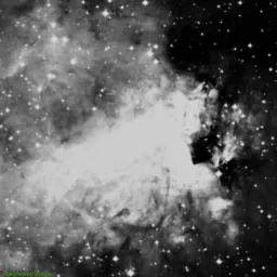
DSS Red
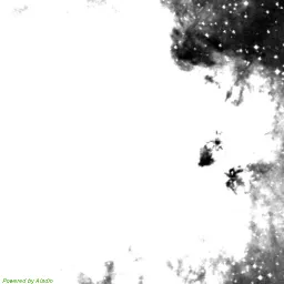
DSS Near-Infrared
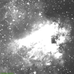
DSS Composite Image
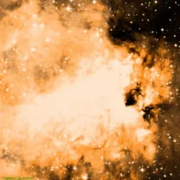
The images come from the Digitized Sky Survey 2 (DSS2), produced at the Space Telescope Science Institute (STScI) under contract with NASA, using data from UK Science and Technology Facilities Council (STFC), European Southern Observatory (ESO), National Geographic Society-Palomar Observatory Sky Survey (POSS II).
Special thanks to National Optical Astronomy Observatory (NOAO), Royal Observatory, Edinburgh, California Institute of Technology for their significant contributions.
Finder Chart for M17
Checkmark Nebula (M17) Passage Through Night
Current position of Checkmark Nebula (M17)
| Time | 19:24 |
| Latitude | 37.3541 |
| Longitude | -121.955 |
| Elevation | 12° |
| Azimuth | 239° |
When Is Checkmark Nebula (M17) Visible Throughout the Year?
| Date | Sat, 24 October 2026 |
| Astronomical observing session begins | 17:46 |
| Astronomical observing session ends | 03:54 |
| Astronomical observing duration | 10h 8m |
| Rise | 10:10 |
| Set | 20:26 |
| Elevation at transit | 36° |
| Transit time | 15:18 |
| Equatorial coordinates | RA: 18h 20m 47s", Dec: -16° 10' 17s |
| Magnitude | 7 |
| Constellation | Sagittarius |
You can also see when M17 is visible throughout the year in a table with exact rise, transit, and set times for each date.
Astrometric and Physical Parameters of M17
Coordinates and Visibility
| Right Ascension | 18h 20m 47s |
| Declination | -16° 10′ 18″ |
| Magnitude | 7 |
| Constellation | Sagittarius |
| Elevation | 11.9° |
| Azimuth | 238.7° |
Data Credits
The deep-sky information on this page comes from the OpenNGC project developed by Matteo Verga. OpenNGC provides detailed catalog data for nebulae, galaxies, clusters and other deep-sky objects.
For details or contributions, visit the official repository: OpenNGC GitHub.