
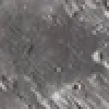
Apollo 12 landing site on the Moon Map
Apollo 12 landing site
| Feature type | Landing Site |
| Size (km) | 350 |
| Coordinates (latitude, longitude) | -3, -23.4 |
Apollo 12 was the second manned mission to land on the Moon. The landing site was near Surveyor 3 in the Oceanus Procellarum. Astronauts Pete Conrad and Alan Bean conducted extensive scientific experiments and collected samples. The mission demonstrated precise landing capabilities and brought back parts of Surveyor 3 for analysis.
Moon Surface Features Facing Earth

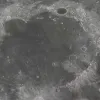

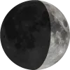
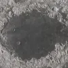
Dark basaltic plain where Apollo 11 landed in 1969, known as the 'Sea of Tranquility'.

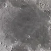
A dark plain called the 'Sea of Fertility,' visible from Earth with a telescope or binoculars.
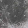
Mare Serenitatis
Sea
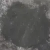
Round, dark plain adjacent to Mare Tranquillitatis, formed by ancient volcanic activity.

Luna 2 landing site
Landing Site
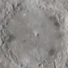
Soviet spacecraft, first human-made object to impact the Moon in 1959.

Apollo 11 landing site
Landing Site

First crewed Moon landing in 1969; Neil Armstrong and Buzz Aldrin walked on Mare Tranquillitatis.

Apollo 14 landing site
Landing Site

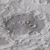
1971 mission landing near Fra Mauro, a hilly region from Imbrium impact.
Apollo 15 landing site
Landing Site
1971 mission to Hadley Rille near Apennine Mountains; first use of lunar rover.
We acknowledge the resources provided by
Solar System Scope
for high-resolution planetary textures, and the
Gazetteer of Planetary Nomenclature
for official planetary naming data. We remain responsible for any errors in their use.