
Apollo 16 landing site on the Moon Map
Apollo 16 landing site
| Feature type | Landing Site |
| Size (km) | 350 |
| Coordinates (latitude, longitude) | -9, 15.5 |
Apollo 16 was the second 'J mission,' with astronauts John Young and Charles Duke landing in the Descartes Highlands. The mission focused on highlands geology and conducted extensive lunar exploration using the Lunar Roving Vehicle. It provided valuable insights into the Moon's crust and surface processes.
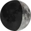
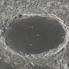
Moon Surface Features Facing Earth
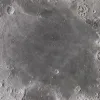
Dark basaltic plain where Apollo 11 landed in 1969, known as the 'Sea of Tranquility'.
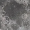
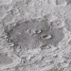
A dark plain called the 'Sea of Fertility,' visible from Earth with a telescope or binoculars.
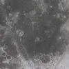
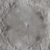
Mare Serenitatis
Sea
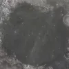
Round, dark plain adjacent to Mare Tranquillitatis, formed by ancient volcanic activity.
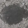

Apollo 14 landing site
Landing Site

1971 mission landing near Fra Mauro, a hilly region from Imbrium impact.
Apollo 17 landing site
Landing Site

1972 mission, last crewed Moon landing; explored Taurus–Littrow valley.
Apollo 15 landing site
Landing Site
1971 mission to Hadley Rille near Apennine Mountains; first use of lunar rover.

We acknowledge the resources provided by
Solar System Scope
for high-resolution planetary textures, and the
Gazetteer of Planetary Nomenclature
for official planetary naming data. We remain responsible for any errors in their use.