
ALOS (DAICHI) Tracker
Description
A Japanese Earth observation satellite used for mapping and disaster monitoring.Satellite Tracking Data
| Orbital altitude (km) | |
| Velocity (km/s) | |
| Elevation above horizon (°) | |
| Azimuth (°) | |
| RA, Dec (h, °) |
Tonight’s ALOS (DAICHI) flyovers
ALOS (DAICHI)
Satellite pass tonight
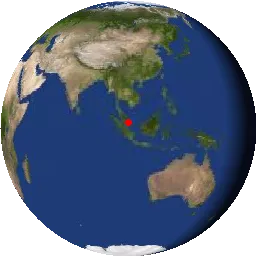
A Japanese Earth observation satellite used for mapping and disaster monitoring.
1 flyover expected tonight.
1 flyover expected tonight.
TLE orbital data are provided by Celestrak. These data are used to calculate satellite positions and local flyover predictions.
SGP4 prediction code adapted from shupp/Predict.
SGP4 prediction code adapted from shupp/Predict.