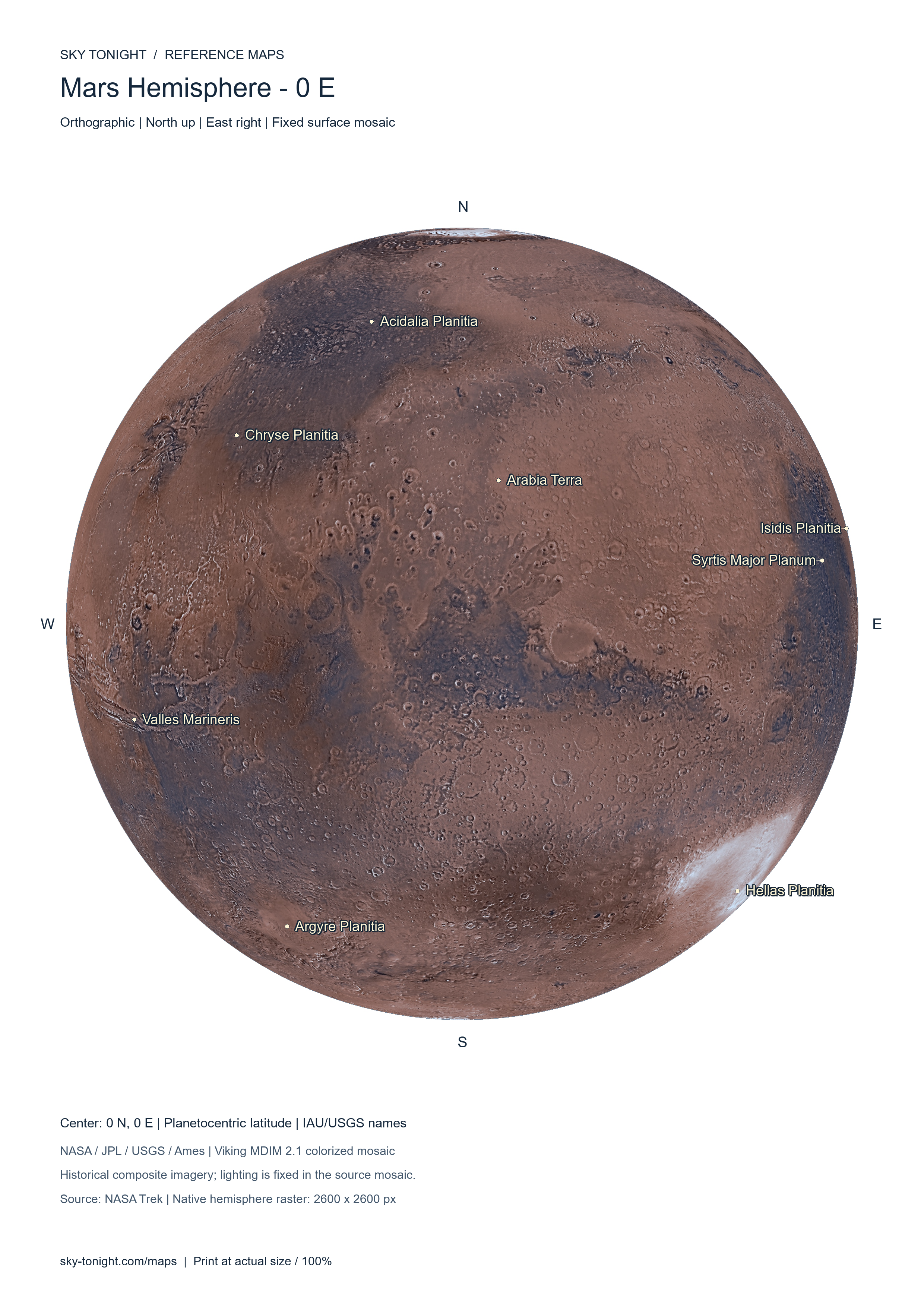
Mars Hemisphere — 0° E
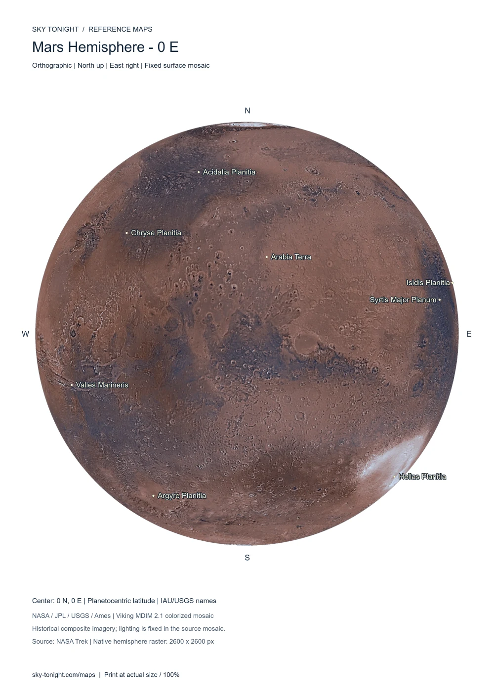
Orthographic photographic Mars map centered on 0° longitude, north up and east right, showing Valles Marineris, Hellas Planitia and Arabia Terra.
Two photographic Mars hemispheres centered on 0° and 180° longitude, plus a global equirectangular overview. Download with or without names as PDF or 300 DPI PNG for A4 and A3.
Orthographic photographic Mars map centered on 0° longitude, north up and east right, showing Valles Marineris, Hellas Planitia and Arabia Terra.
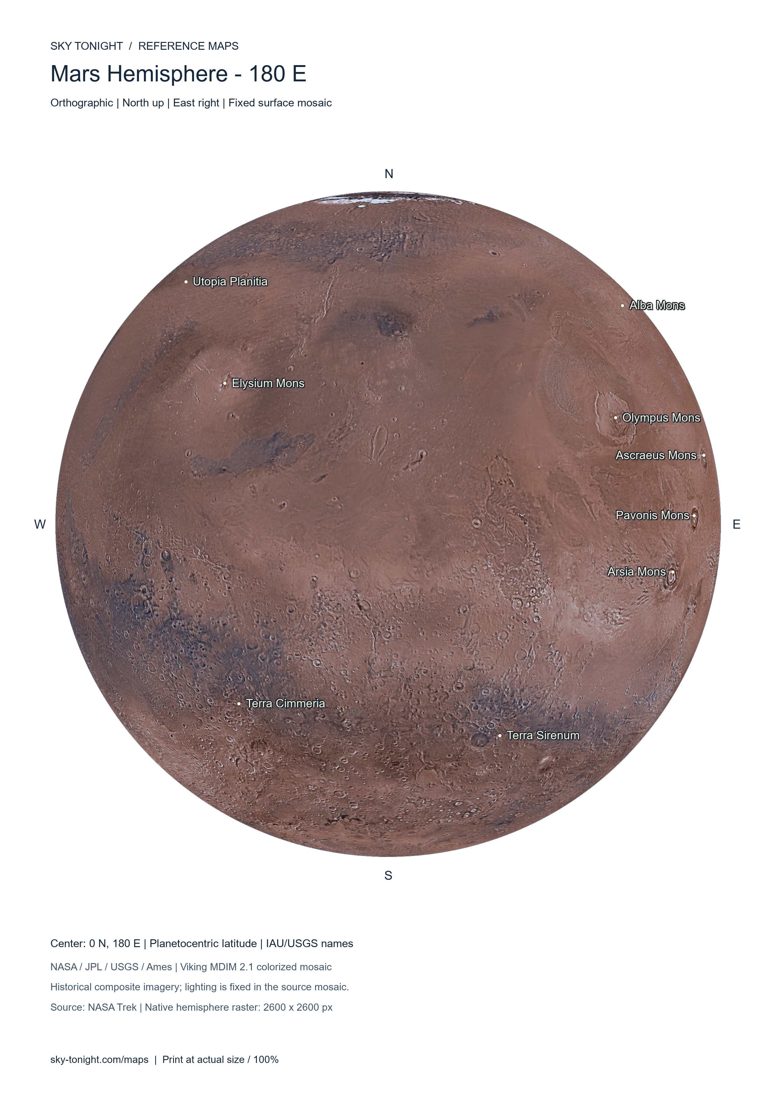
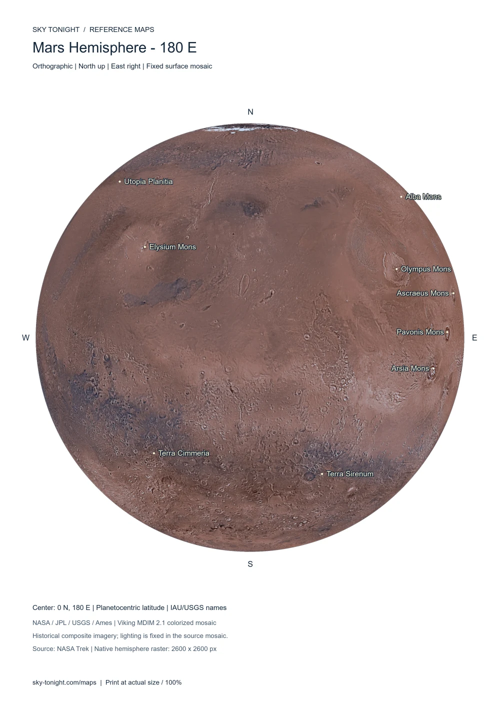
Orthographic photographic Mars map centered on 180° longitude, north up and east right, showing Olympus Mons, the Tharsis volcanoes and Elysium Mons.
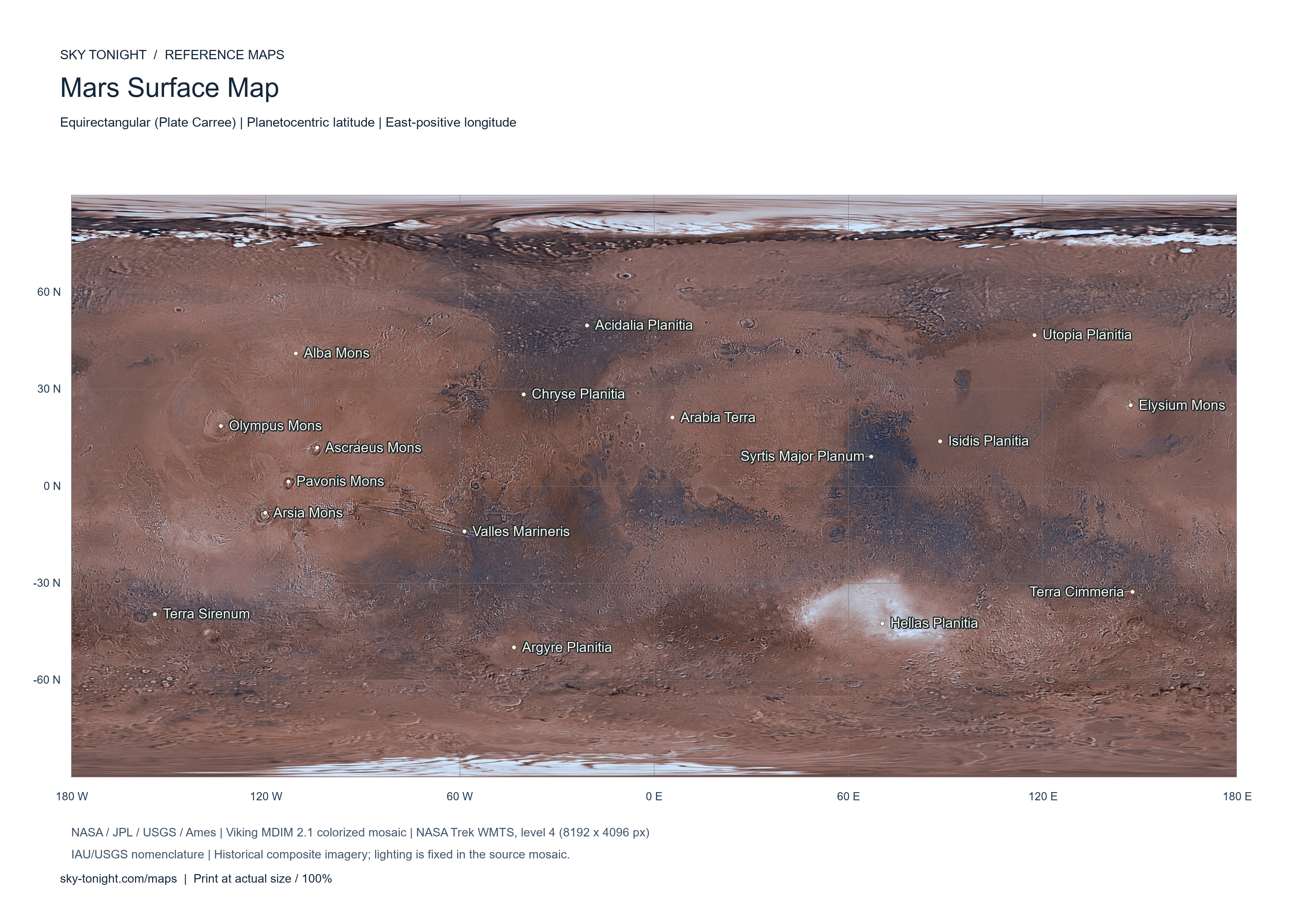
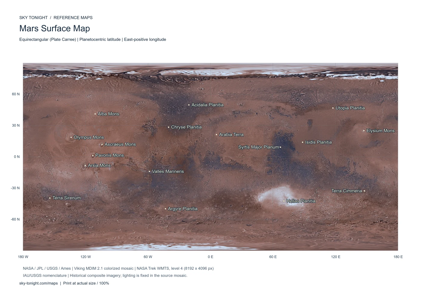
Global equirectangular Mars surface map showing Olympus Mons, Valles Marineris, Hellas Planitia and other major geographical features.
Moon: NASA’s 2025 display mosaic, with lower-resolution polar albedo fill; not quantitative photometry. The native 2600 px disk prints at 180 mm (A4) or 220 mm (A3). Mars: 8192 × 4096 NASA Trek Viking mosaic. Map sheets use English headings, international Latin constellation names and IAU surface names, shared across languages. Stellar charts use J2000 positions; they do not show the local horizon. M102 follows the site catalog identification NGC 5866.